Our Projects

Explore our innovative geospatial solutions worldwide.

Indian Projects

Showcasing successful local initiatives.

A map overlaying urban development in India.
International Projects

Highlighting global project achievements.

Saudi Arabia Defence Ministry: Secure geospatial platforms for national security.

A diverse team collaborating over geospatial data on computers.

Projects

Showcasing our innovative geospatial solutions worldwide.

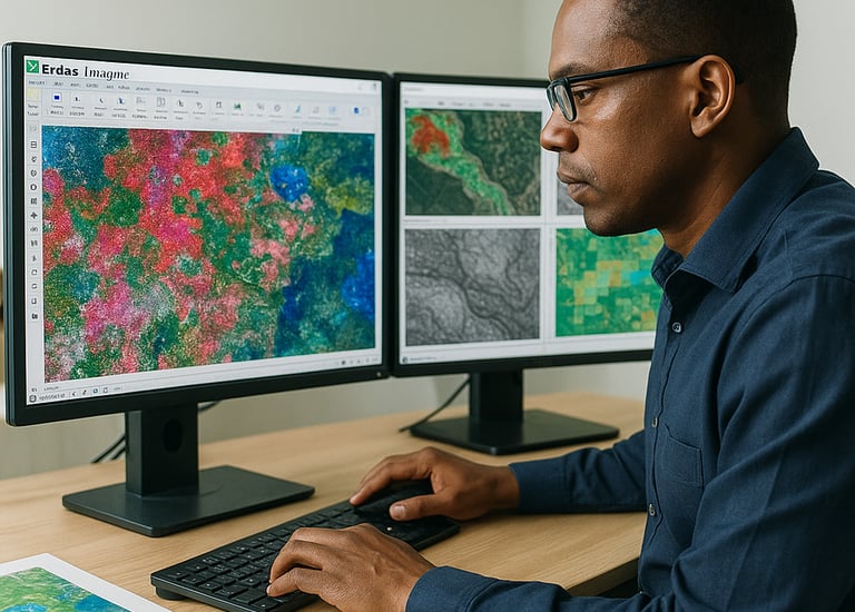
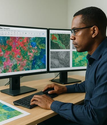
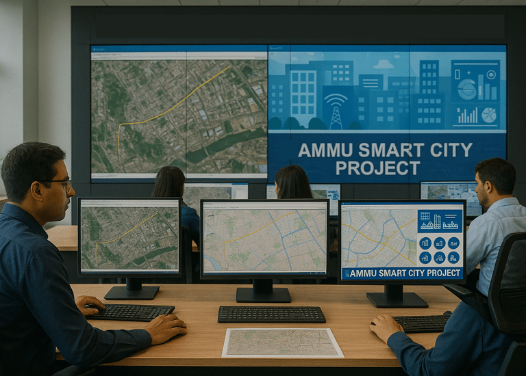
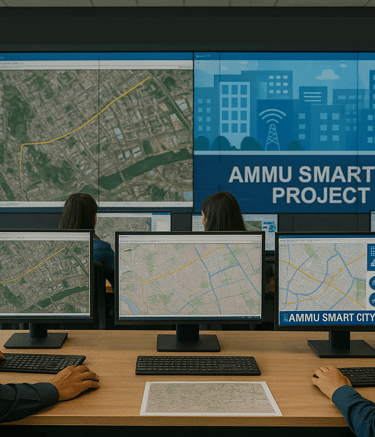
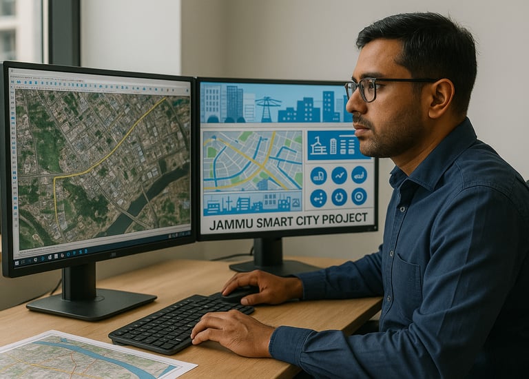
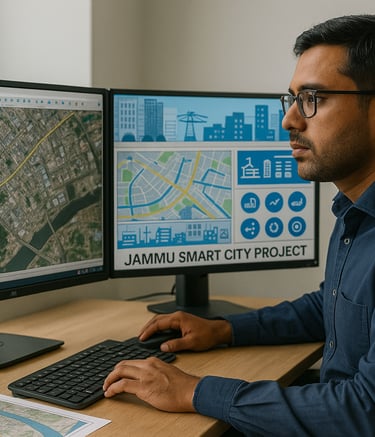
Jammu Smart City: Urban mapping and smart dashboards for real-time management.

Srinagar Smart City: Flood zone monitoring and heritage preservation through GIS.

Delhi Safe City: Safety, surveillance, and emergency response dashboards.

Aerial view of a bustling city with overlaid mapping data.
A technician analyzing satellite imagery in a modern workspace.

FAQs

What services do you offer?

We offer GIS, remote sensing, mapping, and analytics services for various projects.

Where are you located?
How long have you operated?
Do you accept international projects?
What industries do you serve?

We are based in India but work globally.

We have been in operation for over a decade, delivering successful geospatial solutions.

Yes, we welcome and have experience with international projects across various regions.

Our services cater to environmental, urban planning, and infrastructure sectors.